


 Sign In / Register
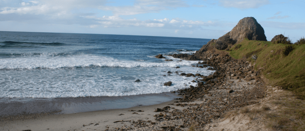


Profile
History
The council purchased 50 hectares of land on Te Arai Point in 2008 for regional park purposes. The parkland adjoins an existing 37-hectare local reserve and an extensive area of Crown land to the south, currently leased for commercial forestry. The large area of commercial forest to the north is privately owned and is subject to future development proposals.
The regional parkland occupies the most prominent headland on this part of the eastern coast offering panoramic views to Pakiri Beach in the south and Mangawhai Heads sand spit to the north, and the rural hinterland and the Tomarata Lakes to the west.
Te Arai o Tahuhunuiarangi (the shelter of Tahuhu) is the full name of this parkland and was the pa of the founding ancestor of Ngai Tahuhunuiarangi. The only prominent point jutting out into the South Pacific Ocean between Mangawhai (Bream tail) and Omaha (Cape Rodney), it was visited frequently by passing waka.
Te Arai is claimed by many iwi and hapu, as a tribal boundary marker to a burial site. Kawerau, Ngati Whatua, Hauraki and Ngati Wai (Ngati Manuhiri) claim the right to exercise kaitiakitanga over Te Arai to this day.
See more about dog walking restrictions, tracks, park facilities and activities at regionalparks.aucklandcouncil.govt.nz/tearai
Map
Sorry, no records were found. Please adjust your search criteria and try again.
Sorry, unable to load the Maps API.


Comments
You must be signed in to leave a comment